
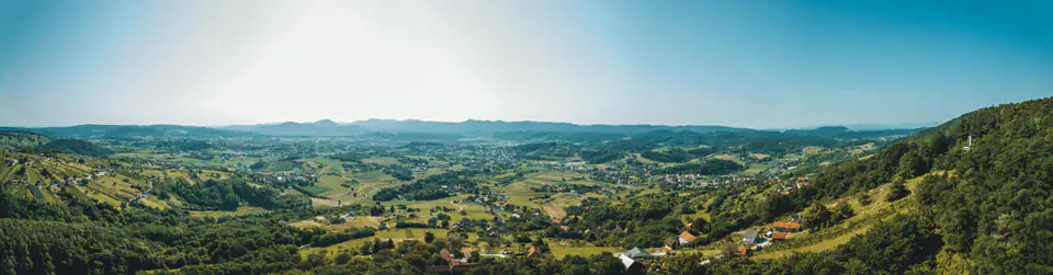
 Photo: Dario Mikulek, Bruno Radotić
Routes
Choose a route.
Eight routes: hiking climbs to Grebengrad and Čevo, two running routes through the forest, a tour of the Paka and Čanjevo forts, a trip to explore old bunkers, a town trail, a cycling route through the Bednja valley and the Lužec cross-country route.
No routes match the selected filters.
 GPX
Climb to Grebengrad
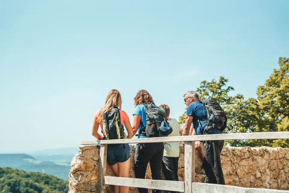
A loop from Madžarevo to the largest fort in the area. Asphalt up to Zavjetni križ (the Votive Cross), then forest all the way to Grebengrad, returning on a gravel road past Gradišće Ethno Village. Not too demanding and suitable for less experienced walkers too.
- Distance
- 7.5 km
- Ascent
- 350 m
- Duration
- 2:30 h
 GPX
Climb to Čevo
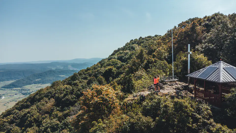
A short but fierce route to the easternmost peak of Ivanščica, nicknamed the Zagorje Klek. A steep forest climb and two viewpoints – Balkon over the Bednja valley and Malo Čevo towards Varaždin.
- Distance
- 4.5 km
- Ascent
- 338 m
- Duration
- 2:00 h
 GPX
Paka – Paka Fort – Čanjevo
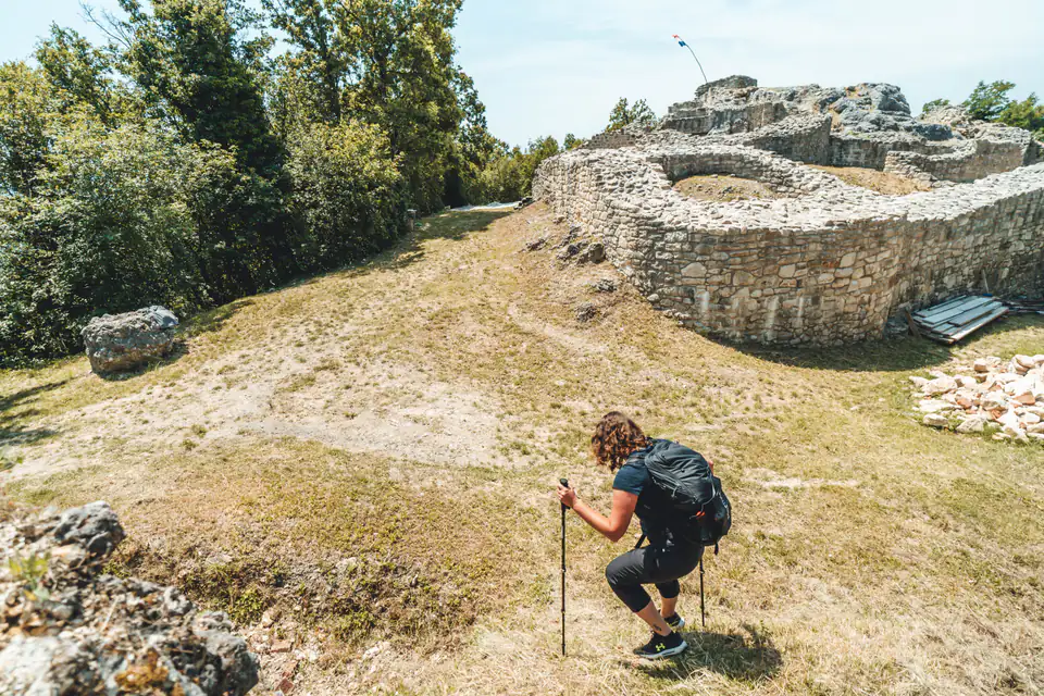
A quiet forest outing to two forts, suitable for all ages. It starts at the chapel in Paka, leads to Paka Fort and on along a gravel road to Čanjevo, and on the way back takes in the Ribelj viewpoint.
- Distance
- 9.1 km there and back
- Ascent
- 236 m
- Duration
- 3:00 h
 GPX
Gradska staza
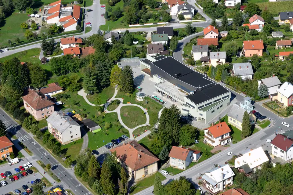
A town walking loop just over three kilometres long that takes you through practically all of Novi Marof. There are benches and resting spots along the way. Good for a warm-up or for a day when you’re not going far.
- Distance
- 3.1 km
- Ascent
- 11 m
- Duration
- 0:45 h
 GPX
Bella avantura
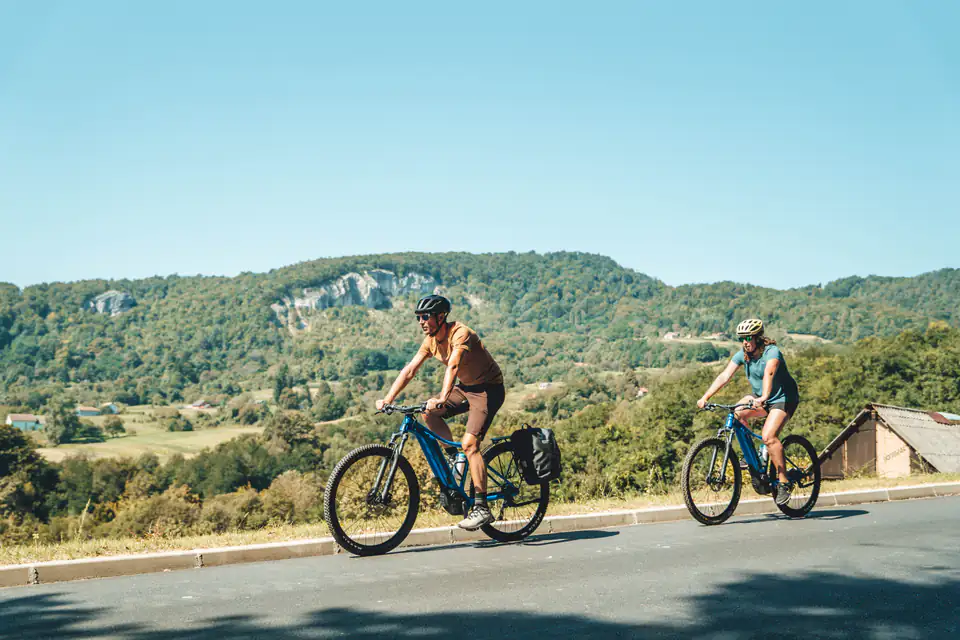
A 43 km asphalt loop through the hills and the Bednja valley. It passes below Čevo peak, along the walls of Bela Castle and past the Belski Dol spring, with the final stretch through Topličica and its outdoor pools. Suitable for trekking and road bikes.
- Distance
- 43.2 km
- Ascent
- 566 m
- Duration
- 2:30 h
 GPX
Lužec
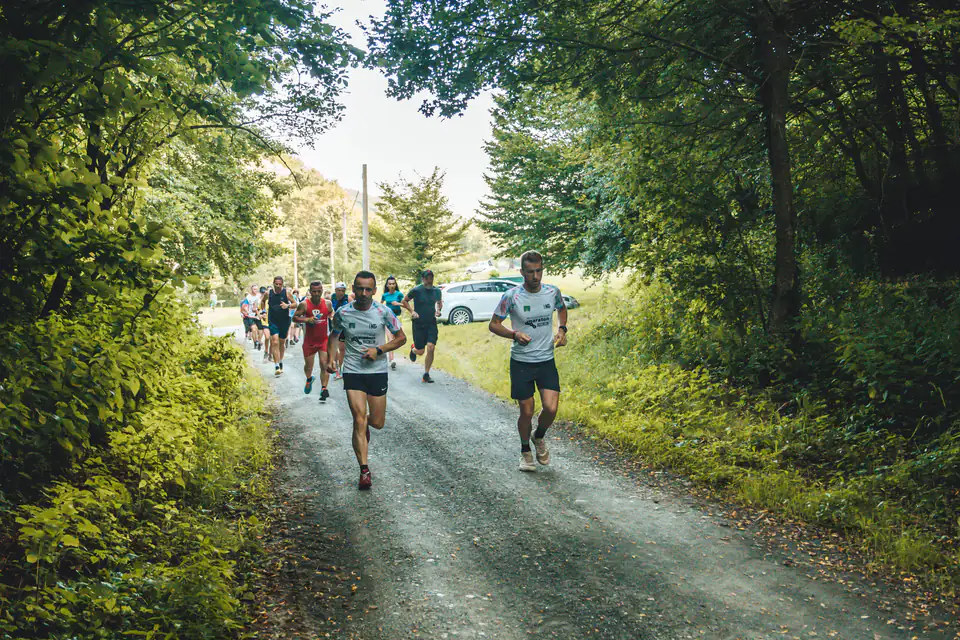
The course of a well-established cross-country league north-east of town: 9.3 km, 264 metres of ascent and varied terrain. It runs through a recreation area full of springs, ponds and footpaths. Suitable for recreational riders and runners too.
- Distance
- 9.3 km
- Ascent
- 264 m
- Duration
- 1:00 h
Route or trail? A trail is a prepared surface for getting around, while a route is a line of travel that may follow a prepared surface (a trail), but also a farm track or a road. In other words, a trail physically exists on the ground; a route is the way you choose as you head for your destination.