Gradska staza
- Distance
- 3.1 km
- Ascent
- 11 m
- Duration
- 0:45 h
- Highest point
- 193 m a.s.l.
- Type
- Loop
- Highest point
- 193 m a.s.l.at 1.2 km
- Lowest point
- 183 m a.s.l.at 0.8 km
- Steepest section
- +4 %at 1.1 km
- Average climbing gradient
- 6 %
About the route
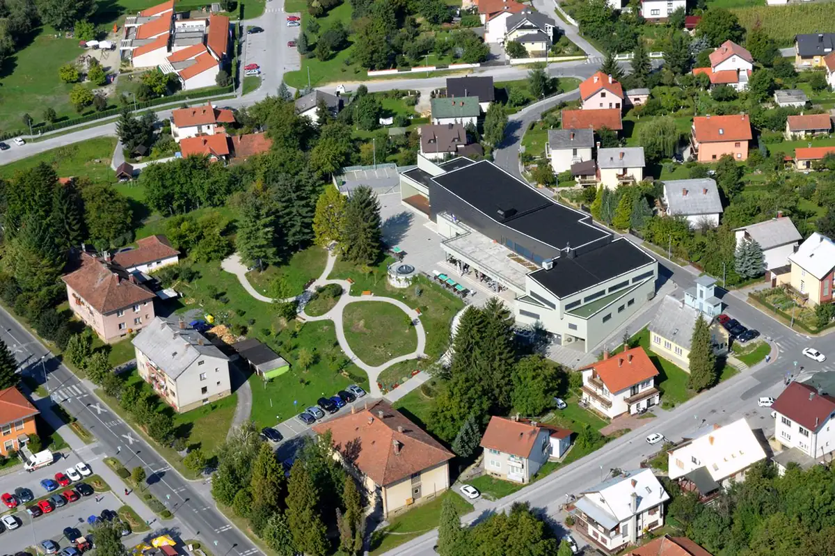
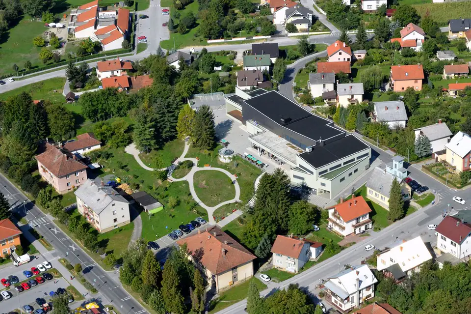
A town walking loop just over three kilometres long that takes you through practically all of Novi Marof. There are benches and resting spots along the way. Good for a warm-up or for a day when you’re not going far.
If you’d like a more urban experience and a chance to get to know Novi Marof itself, there is a town walking loop just over three kilometres long that will take you through practically the whole town.
It has benches and places to catch your breath, and you will often meet locals out strolling, walking or running. It also works as a warm-up before heading out on one of the forest routes.
It runs on pavements and landscaped footpaths along its entire length, which makes it especially suitable for Nordic walking.
Starting point
Directions to the startOpens maps on your phone.
What to bring · Running
- running shoes
- water and food
- windproof jacket
- mobile phone
- reflective markings
In an emergency, call 112. HGSS mountain rescue is free of charge.