Paka – Paka Fort – Čanjevo
- Distance
- 9.1 km there and back
- Ascent
- 236 m
- Duration
- 3:00 h
- Highest point
- 358 m a.s.l.
- Type
- Out and back
- Highest point
- 358 m a.s.l.at 2.9 km
- Lowest point
- 214 m a.s.l.at 0 km
- Steepest section
- +21 %at 1.1 km
- Average climbing gradient
- 6 %
About the route
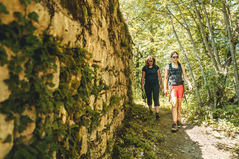
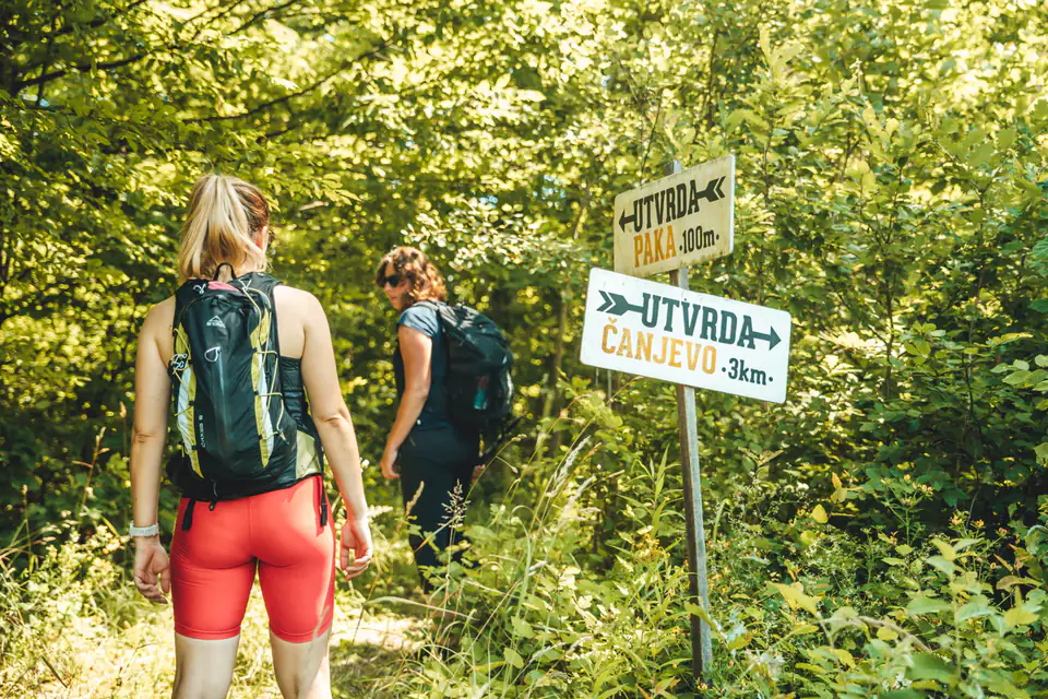
A quiet forest outing to two forts, suitable for all ages. It starts at the chapel in Paka, leads to Paka Fort and on along a gravel road to Čanjevo, and on the way back takes in the Ribelj viewpoint.
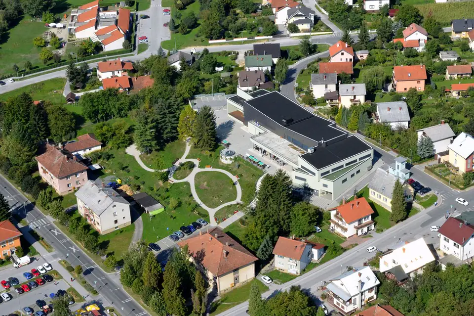
You can begin your hiking adventure to the two forts in the village of Paka, at the chapel, where there is parking, a children’s playground, a football pitch and water.
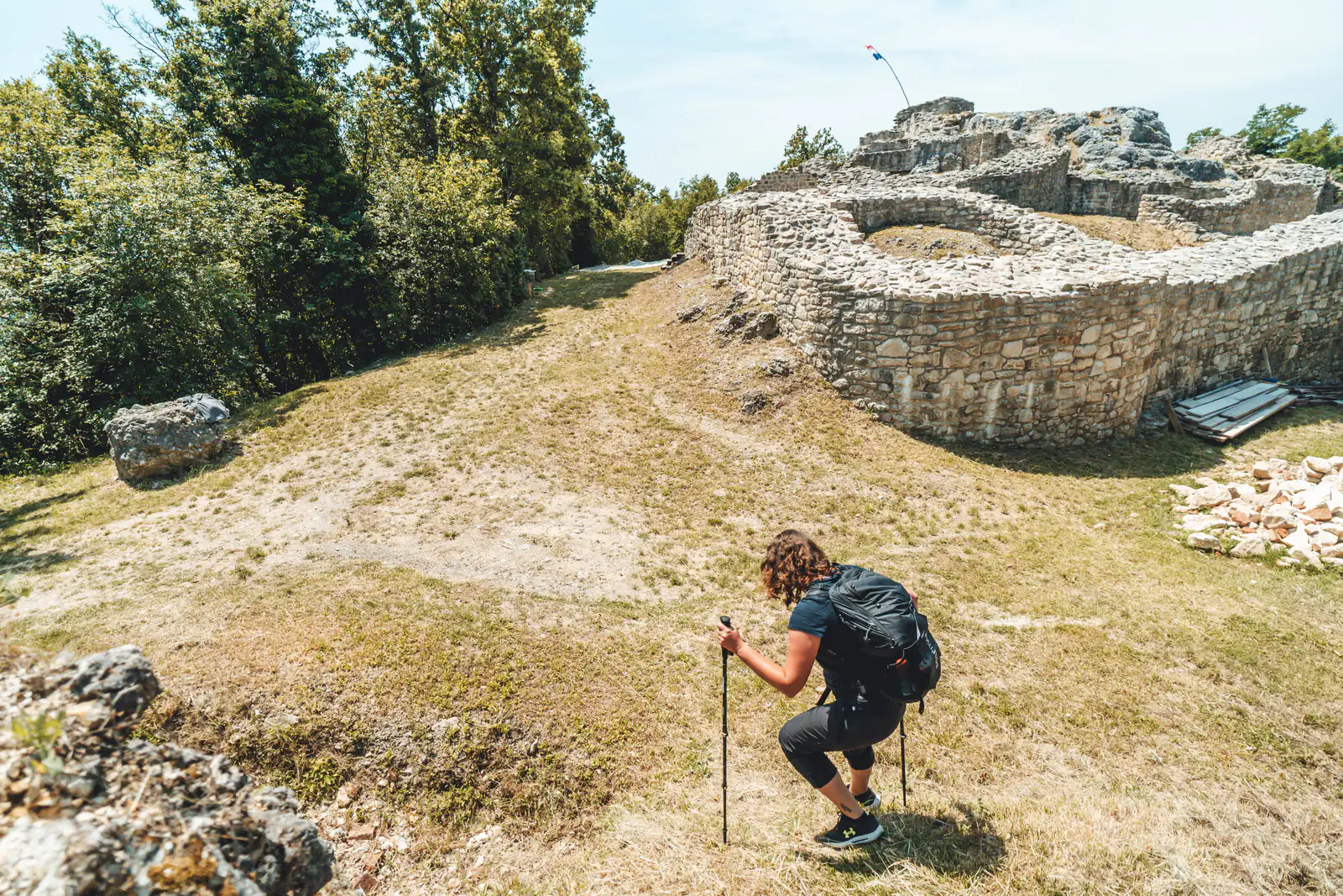
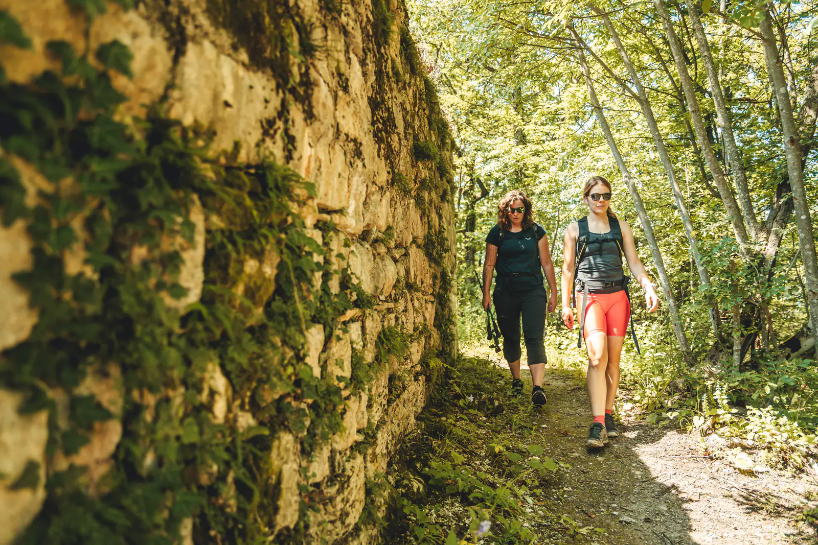
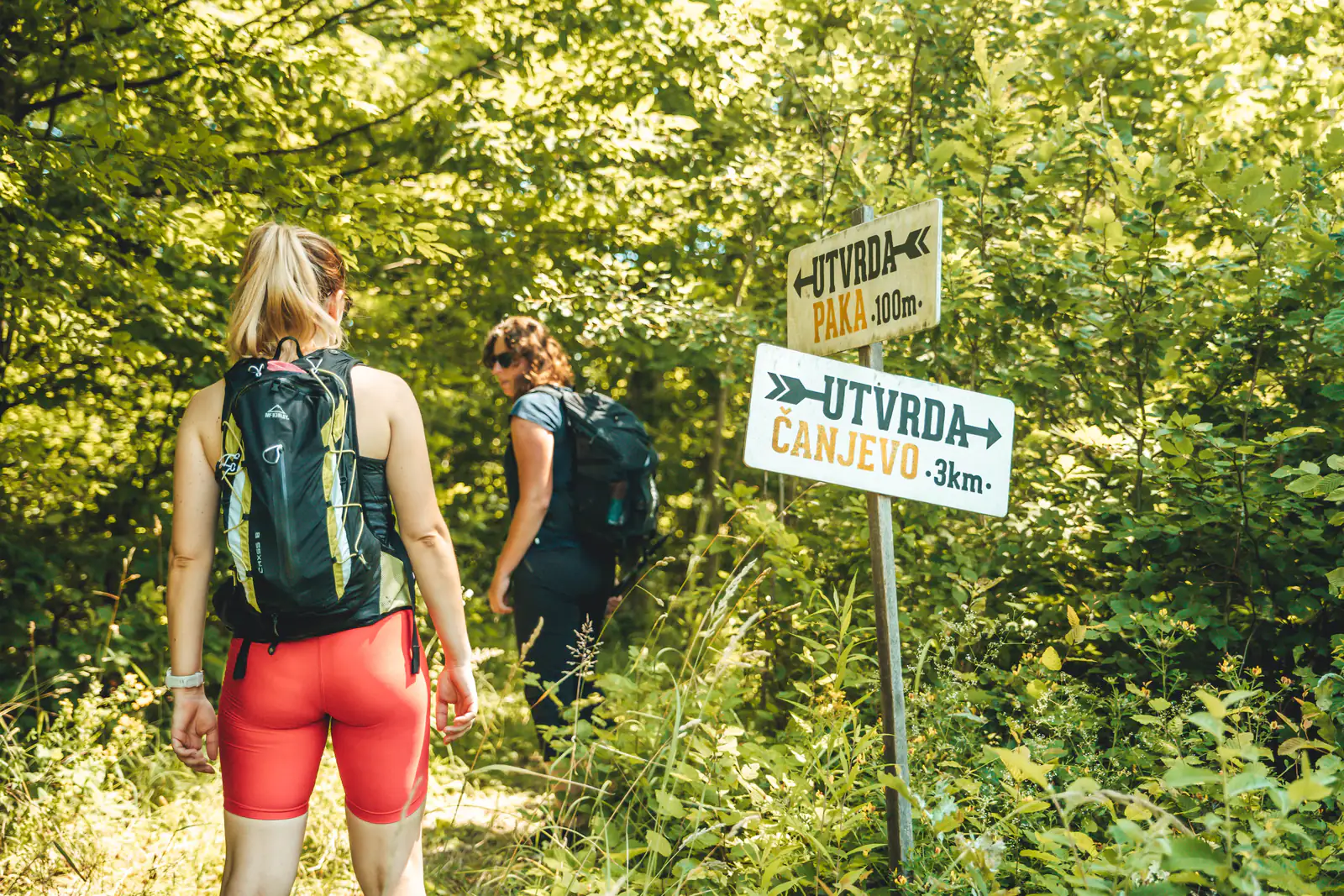
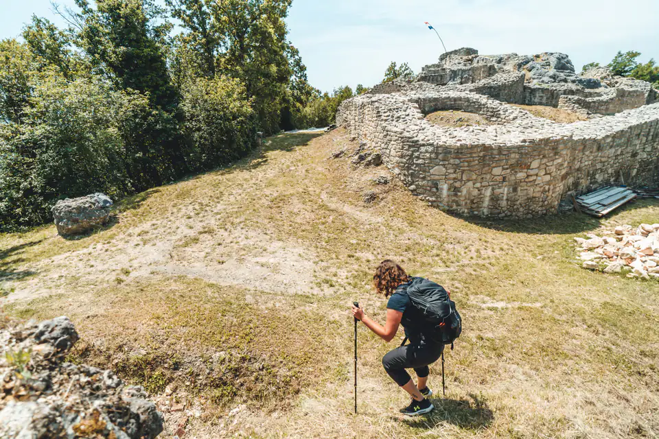
Gravel roads and hiking paths lead you to the fort of the same name, hidden in the forest. If this relatively short stretch of hiking and history is not enough, you can carry on in the same direction to the remains of another fortress near the village of Čanjevo.
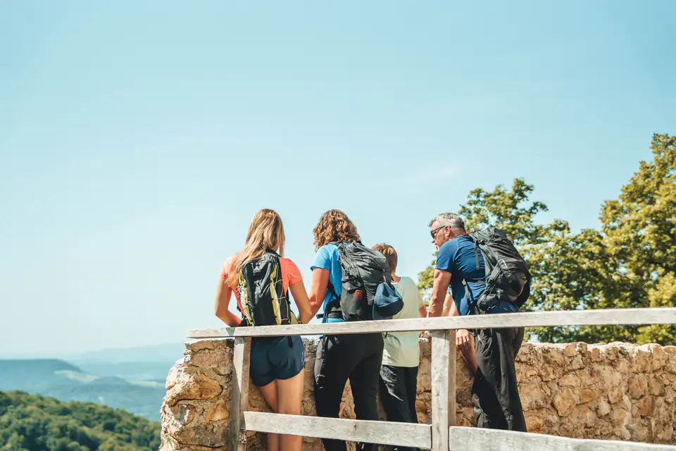
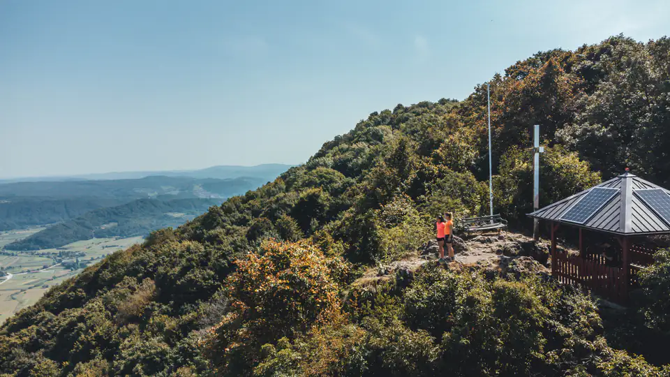
While you’re here, be sure to visit the nearby Ribelj viewpoint with its view of Kalnik. If you return to the start the same way, you will cover a total of 9.1 kilometres with 236 metres of ascent.
There are no cafés, restaurants or shops along the route.
Along the route
- Paka Fort
- Čanjevo Fort
- Ribelj viewpoint
Starting point
Directions to the startOpens maps on your phone.
What to bring · Walking and hiking
- suitable footwear and clothing (depending on the season)
- drinks and food
- waterproof jacket
- mobile phone
- first-aid kit (gauze, plasters, etc.)
In an emergency, call 112. HGSS mountain rescue is free of charge.