Climb to Grebengrad
- Distance
- 7.5 km
- Ascent
- 350 m
- Duration
- 2:30 h
- Highest point
- 533 m a.s.l.
- Type
- Loop
- Highest point
- 533 m a.s.l.at 3.5 km
- Lowest point
- 211 m a.s.l.at 0.1 km
- Steepest section
- +30 %at 1.8 km
- Average climbing gradient
- 11 %
About the route
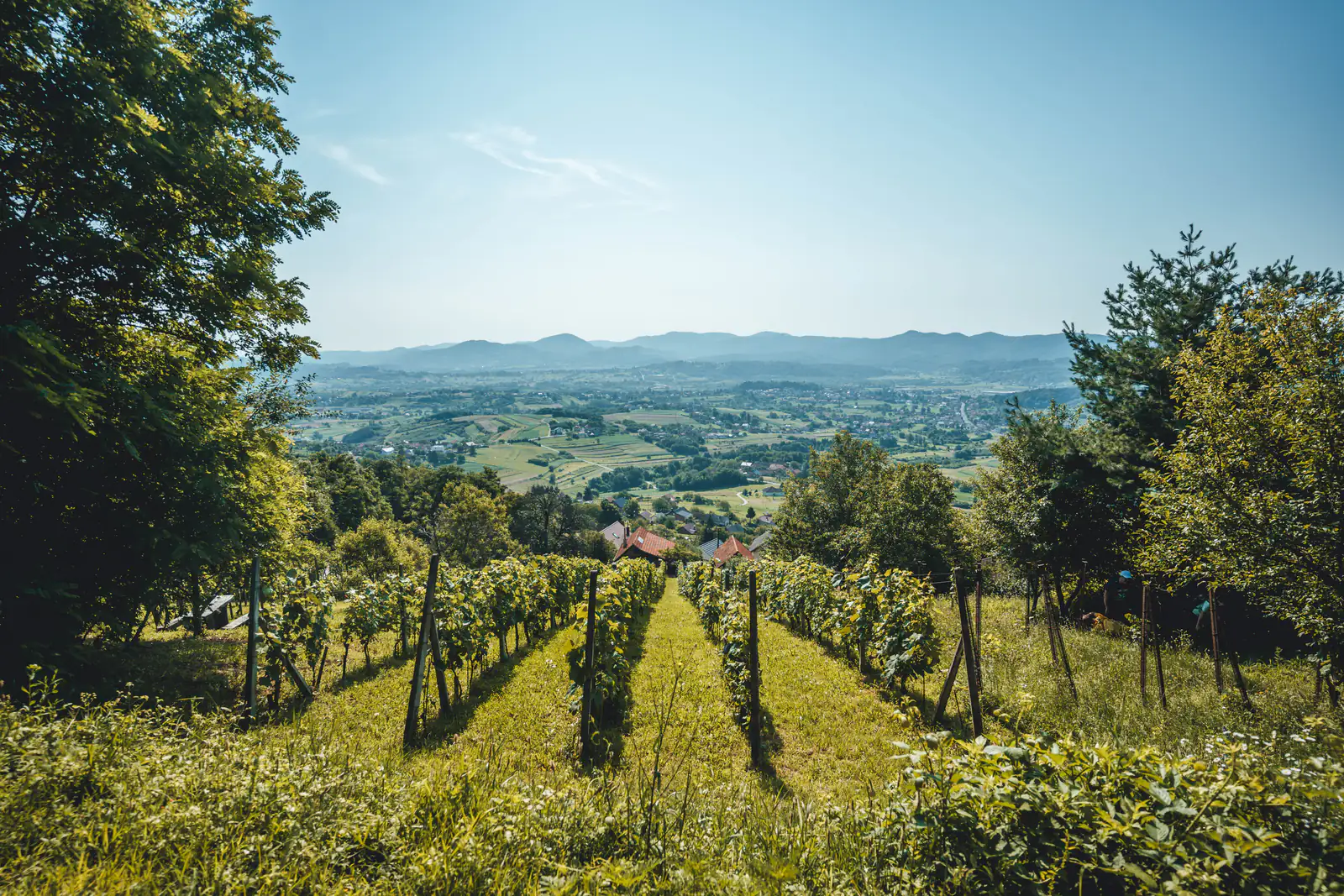
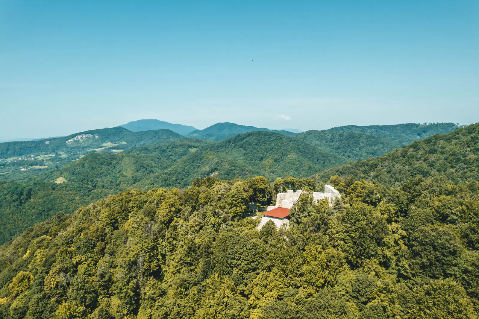
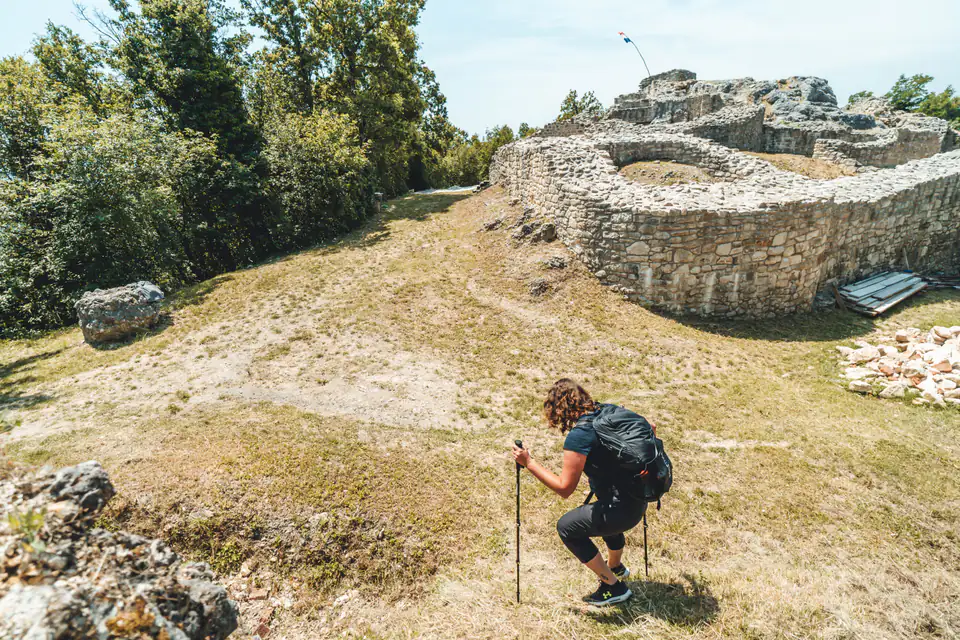
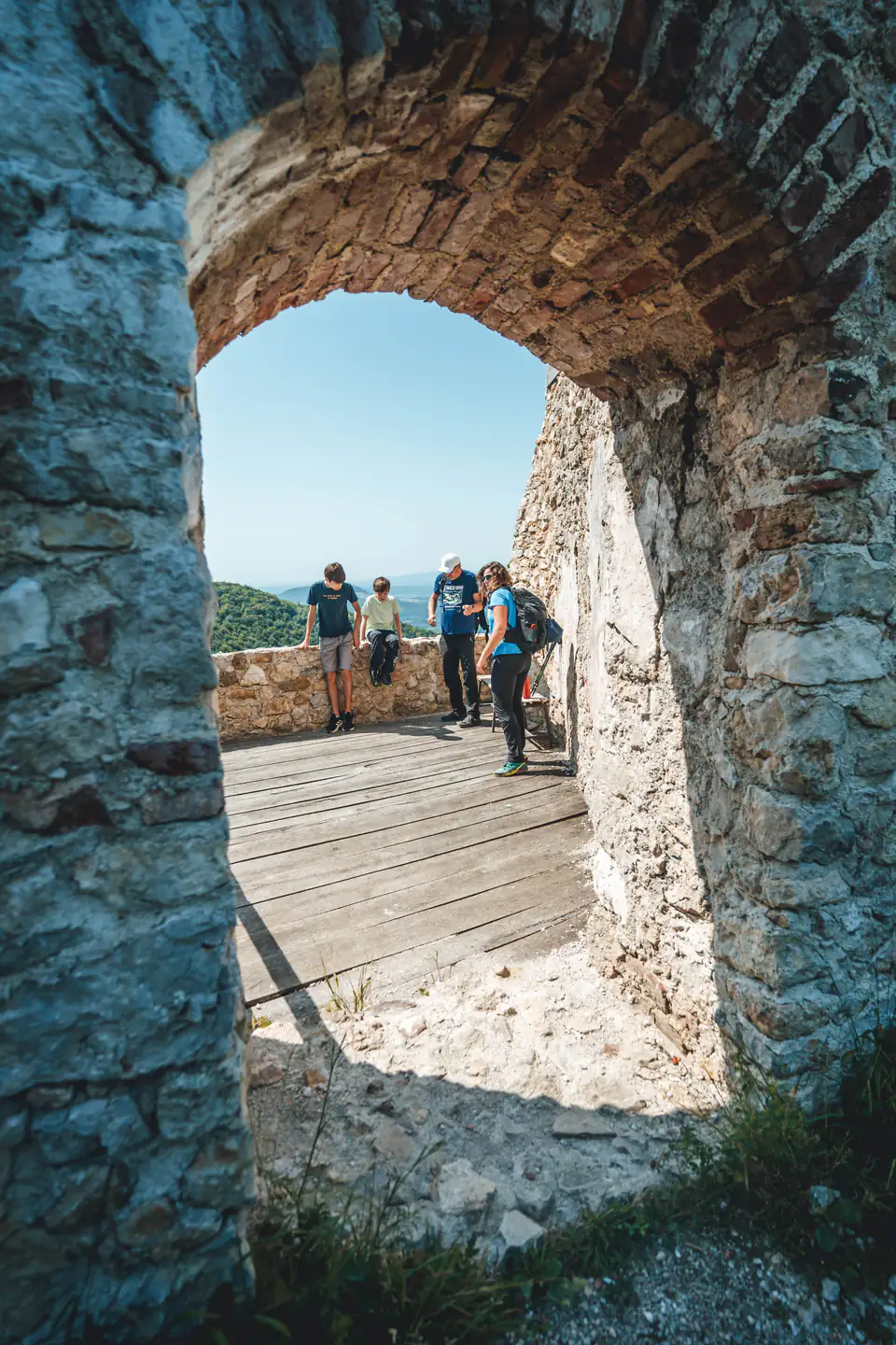
A loop from Madžarevo to the largest fort in the area. Asphalt up to Zavjetni križ (the Votive Cross), then forest all the way to Grebengrad, returning on a gravel road past Gradišće Ethno Village. Not too demanding and suitable for less experienced walkers too.
This popular hiking route starts in the village of Madžarevo. If you come by car, you can park by the school; follow the route anticlockwise.
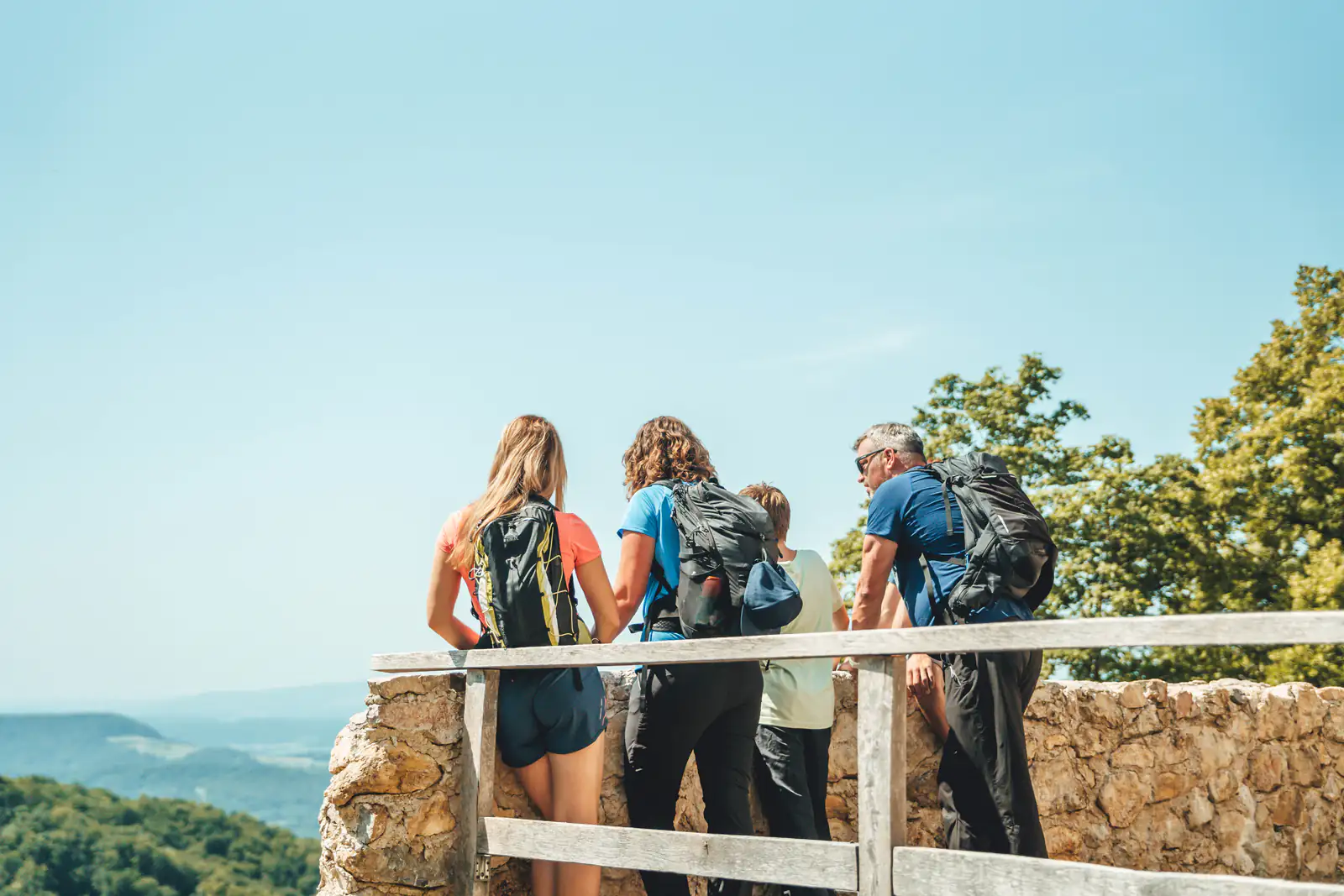
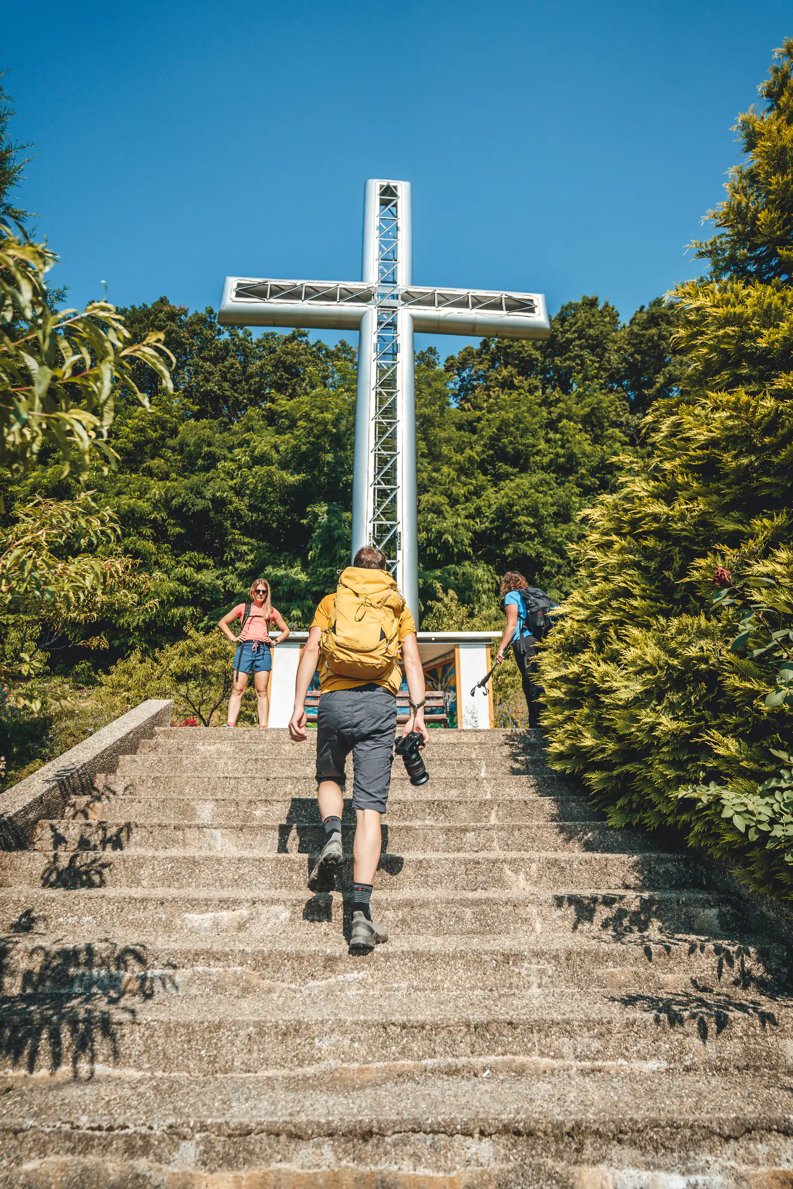
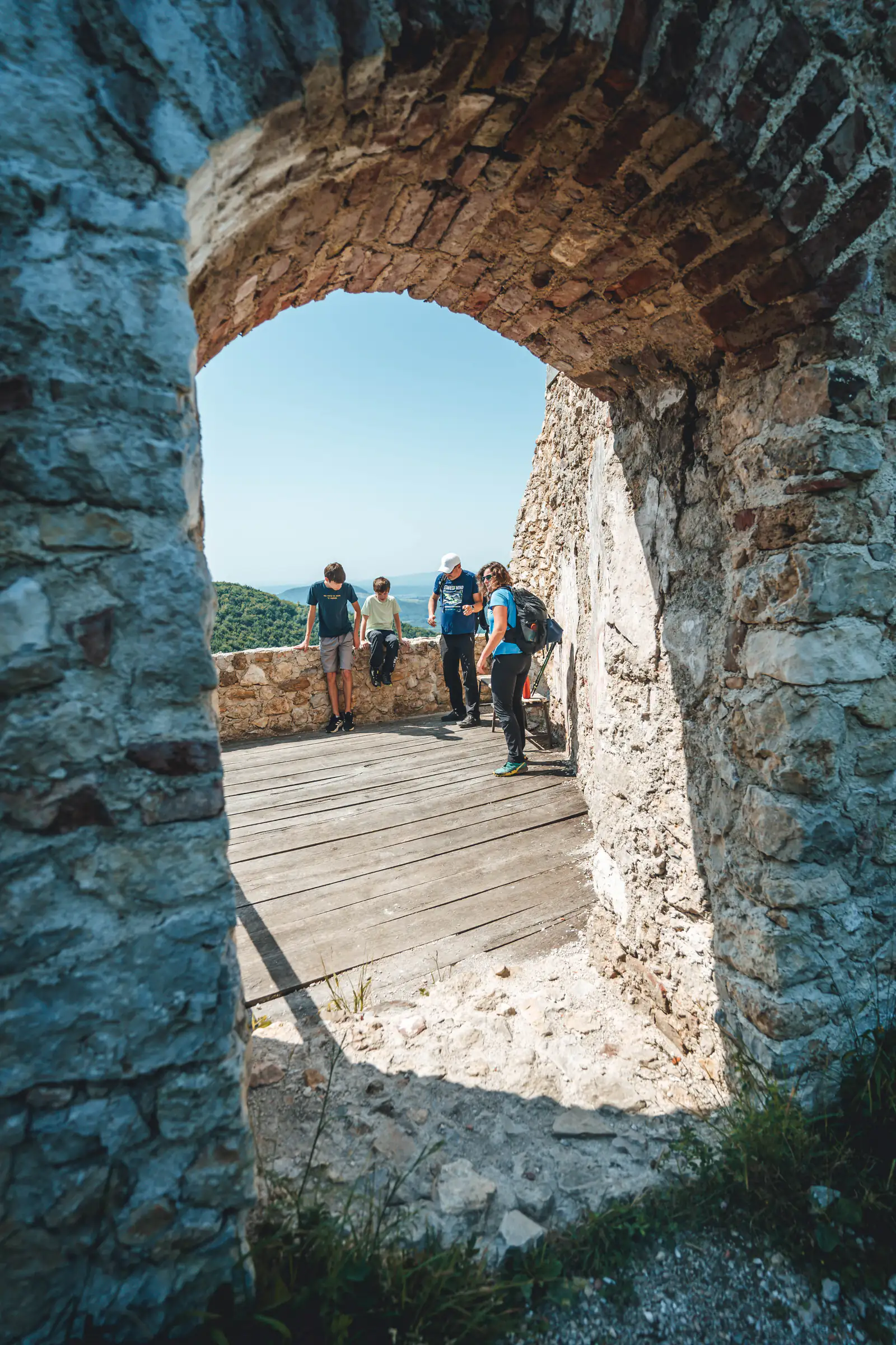
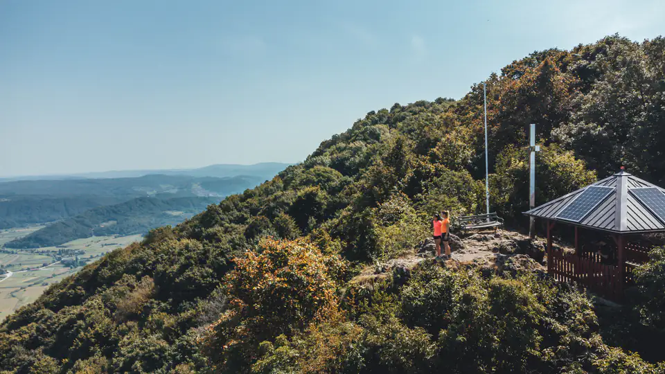
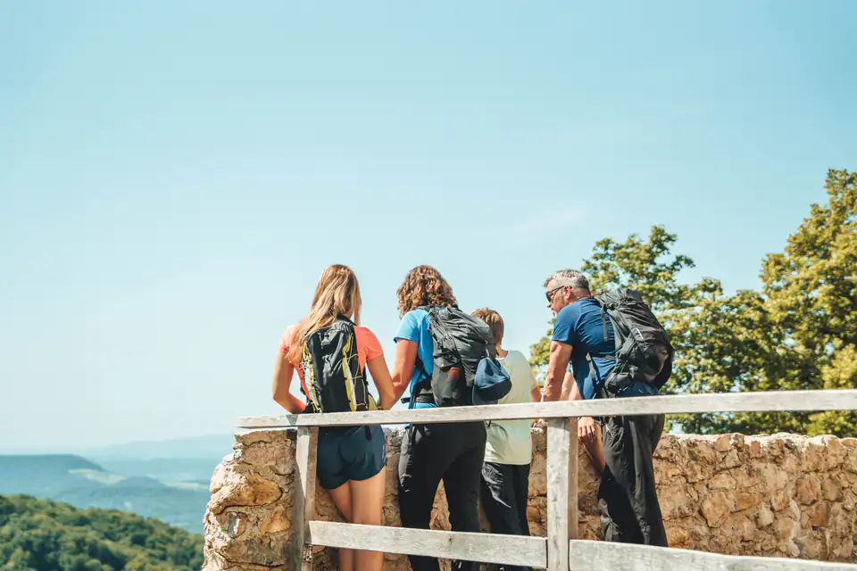
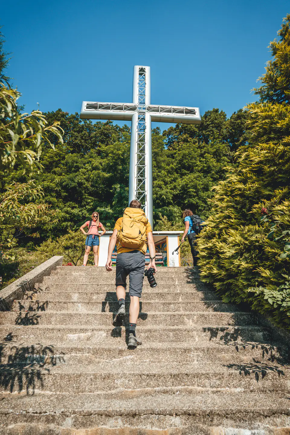
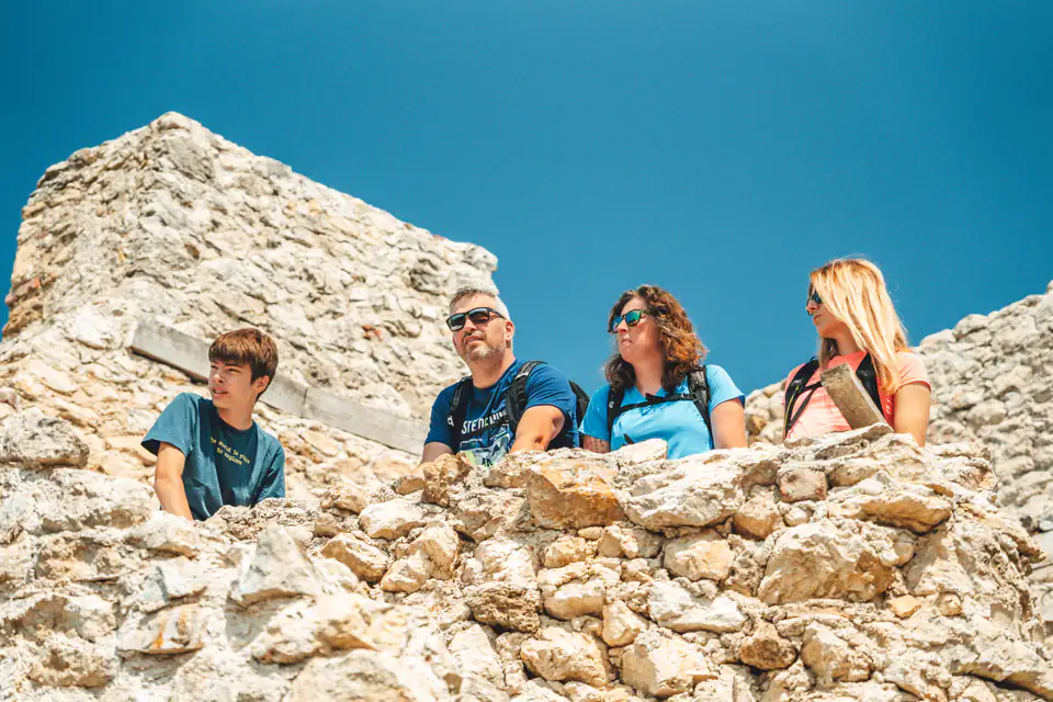
The climb begins on a paved road up to Zavjetni križ (the Votive Cross), after which you enter the forest and climb all the way to your destination – the imposing fort of Grebengrad. Just below the fort there is a mountain hut, open at weekends, and a drinking-water spring.
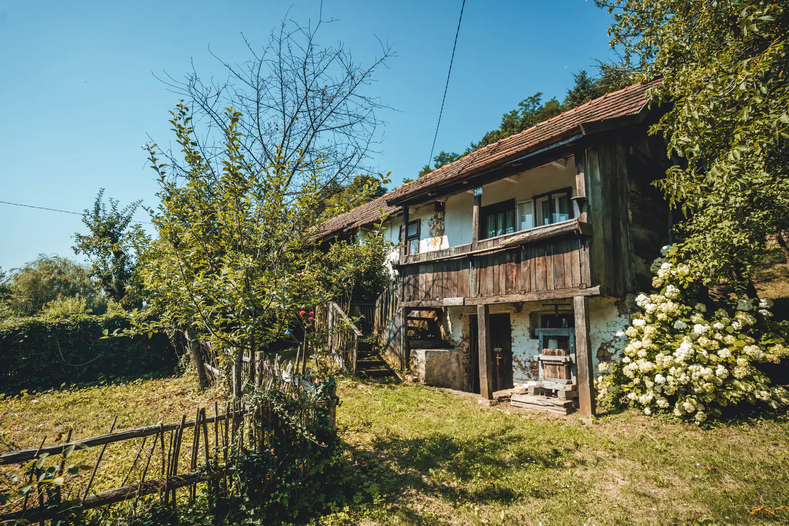
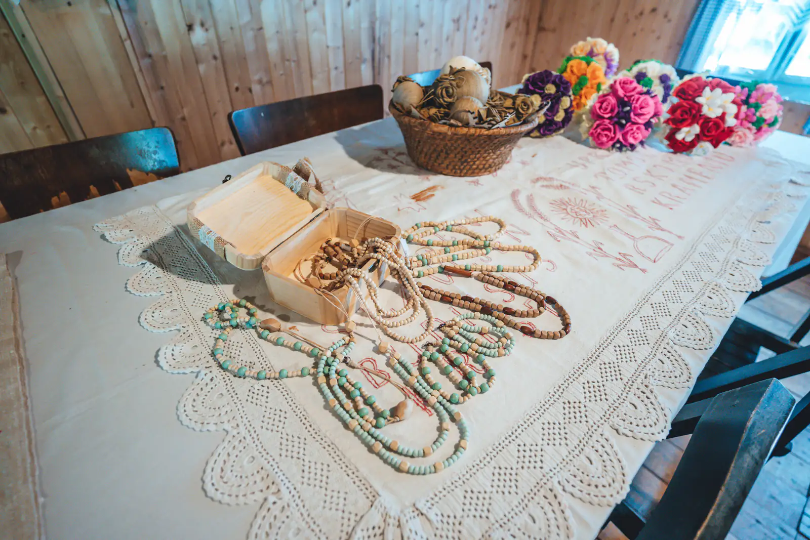
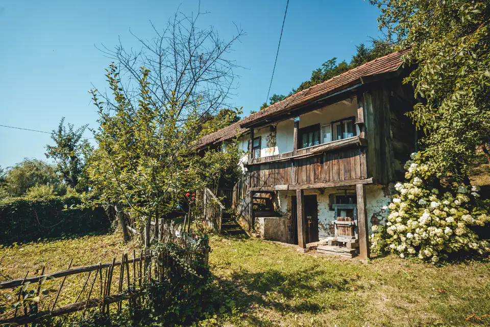
From Grebengrad you first descend on a gravel and partly paved road, then return to the embrace of the forest until you reach Madžarevo. Along the way you can stop at Gradišće Ethno Village.
Along the route
- Grebengrad
- Grebengrad Mountain Hut
- Zavjetni križ (Votive Cross)
- Gradišće Ethno Village
Starting point
Directions to the startOpens maps on your phone.
What to bring · Walking and hiking
- suitable footwear and clothing (depending on the season)
- drinks and food
- waterproof jacket
- mobile phone
- first-aid kit (gauze, plasters, etc.)
In an emergency, call 112. HGSS mountain rescue is free of charge.