
Lužec


- Distance
- 9.3 km
- Ascent
- 264 m
- Duration
- 1:00 h
- Surface
- Varied
- Highest point
- 368 m a.s.l.
- Type
- Cross-country course
- Highest point
- 368 m a.s.l.at 4.9 km
- Lowest point
- 205 m a.s.l.at 0.5 km
- Steepest section
- +22 %at 1.3 km
- Average climbing gradient
- 7 %
About the route
The course of a well-established cross-country league north-east of town: 9.3 km, 264 metres of ascent and varied terrain. It runs through a recreation area full of springs, ponds and footpaths. Suitable for recreational riders and runners too.
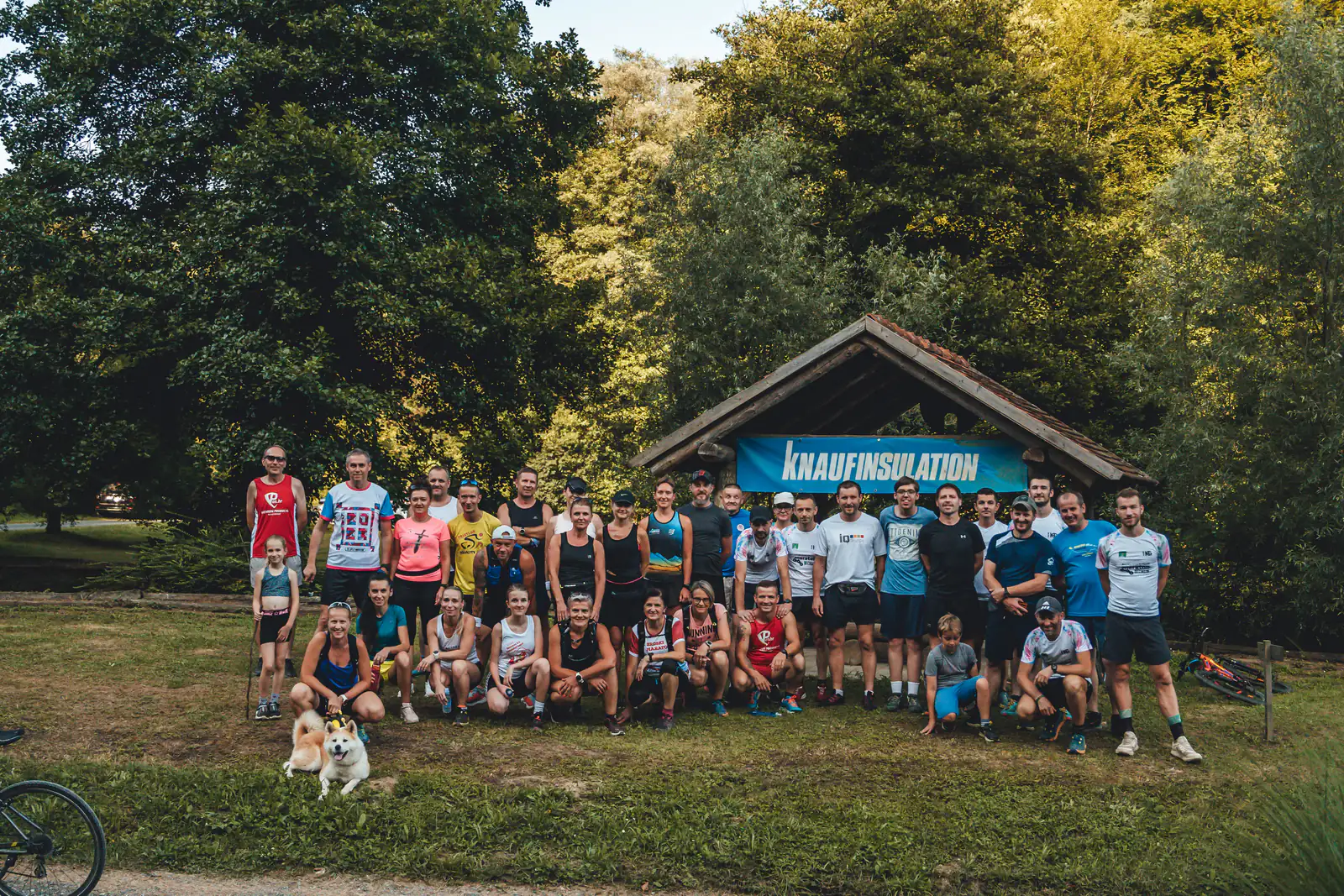
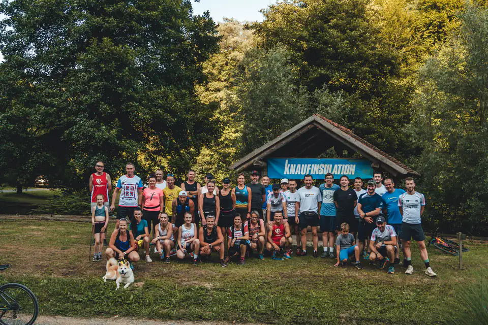
North-east of Novi Marof lies the course of the popular, well-established Lužec cross-country league. This is where mountain bikers and trail runners – adrenaline lovers, in other words – will be in their element.
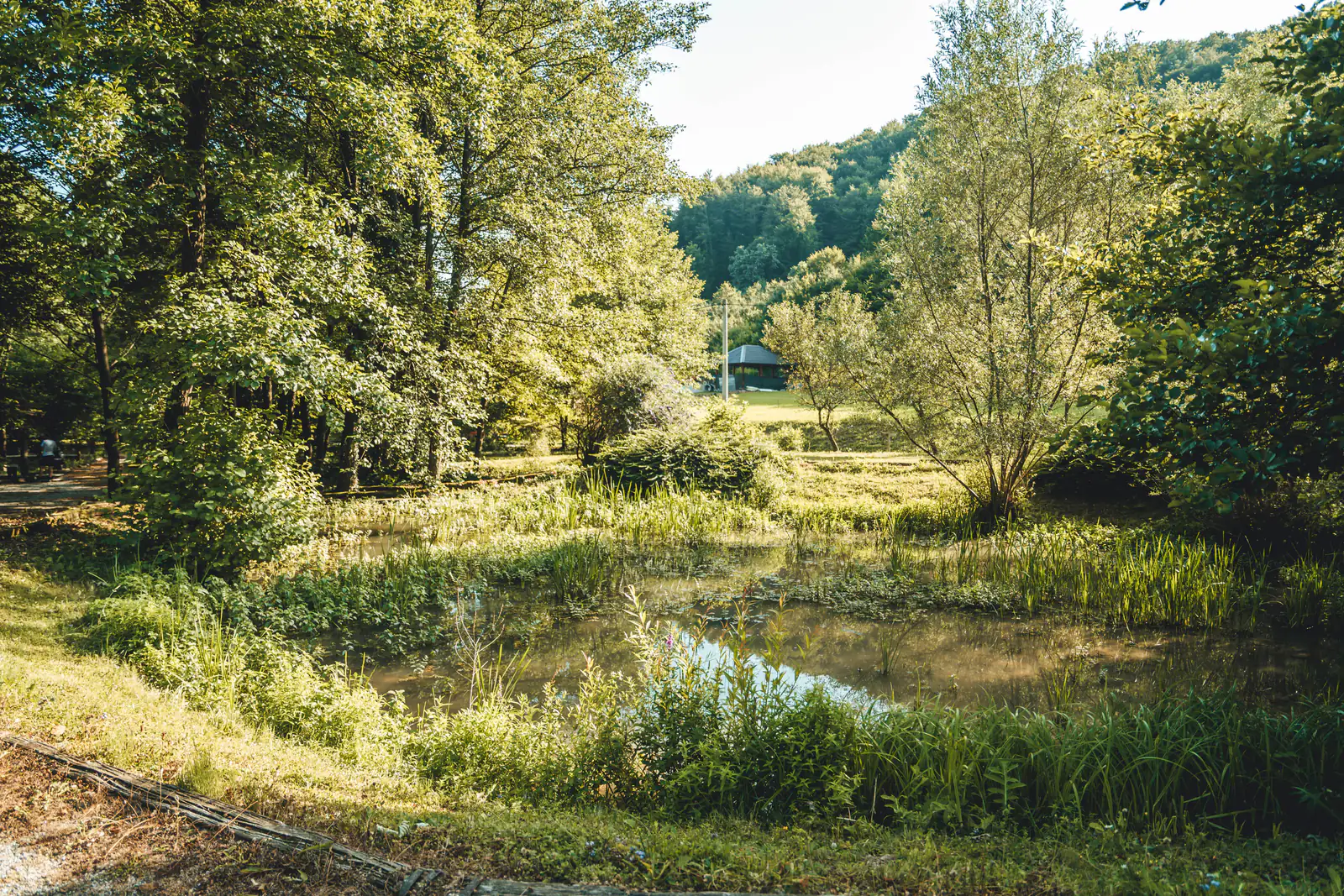
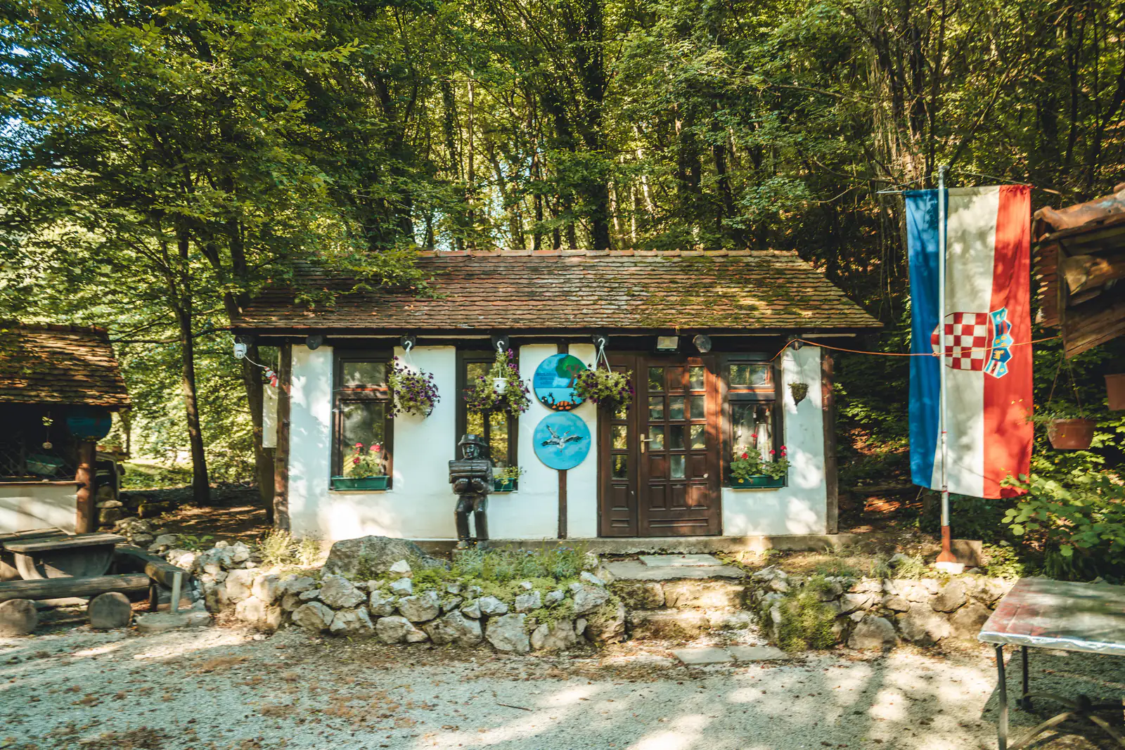
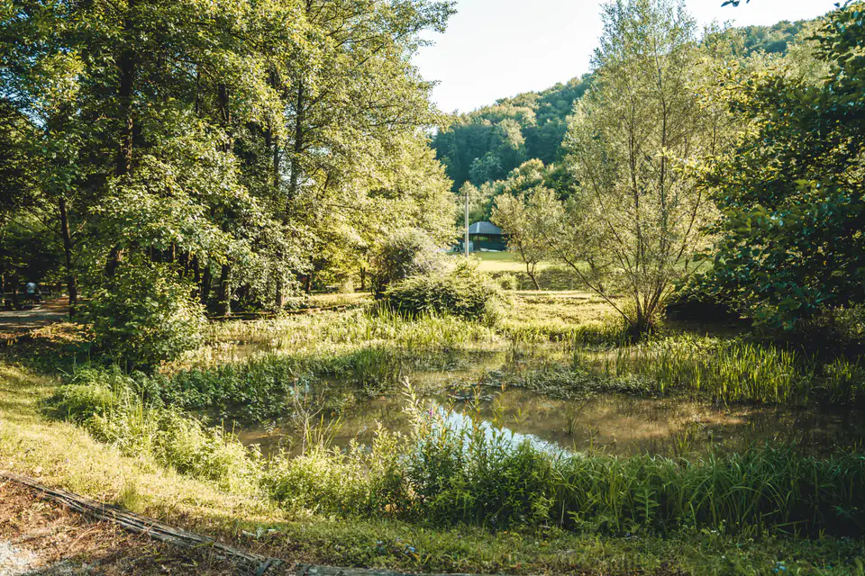
Lužec is also a park of sorts set in nature – full of drinking-water springs, small ponds and built footpaths, which makes it a favourite outing spot even for those who have come just for a walk. The route is 9.3 kilometres long, with 264 metres of ascent and varied surfaces, so it suits recreational athletes and beginners alike.
Starting point
Directions to the startOpens maps on your phone.
What to bring · Running
- running shoes
- water and food
- windproof jacket
- mobile phone
- reflective markings
In an emergency, call 112. HGSS mountain rescue is free of charge.